SEQ Scotty’s Geographics Toolkit App at its core allows users to creatively view & monitor a combination of geographical data, geometry, weather data, maps & technology.
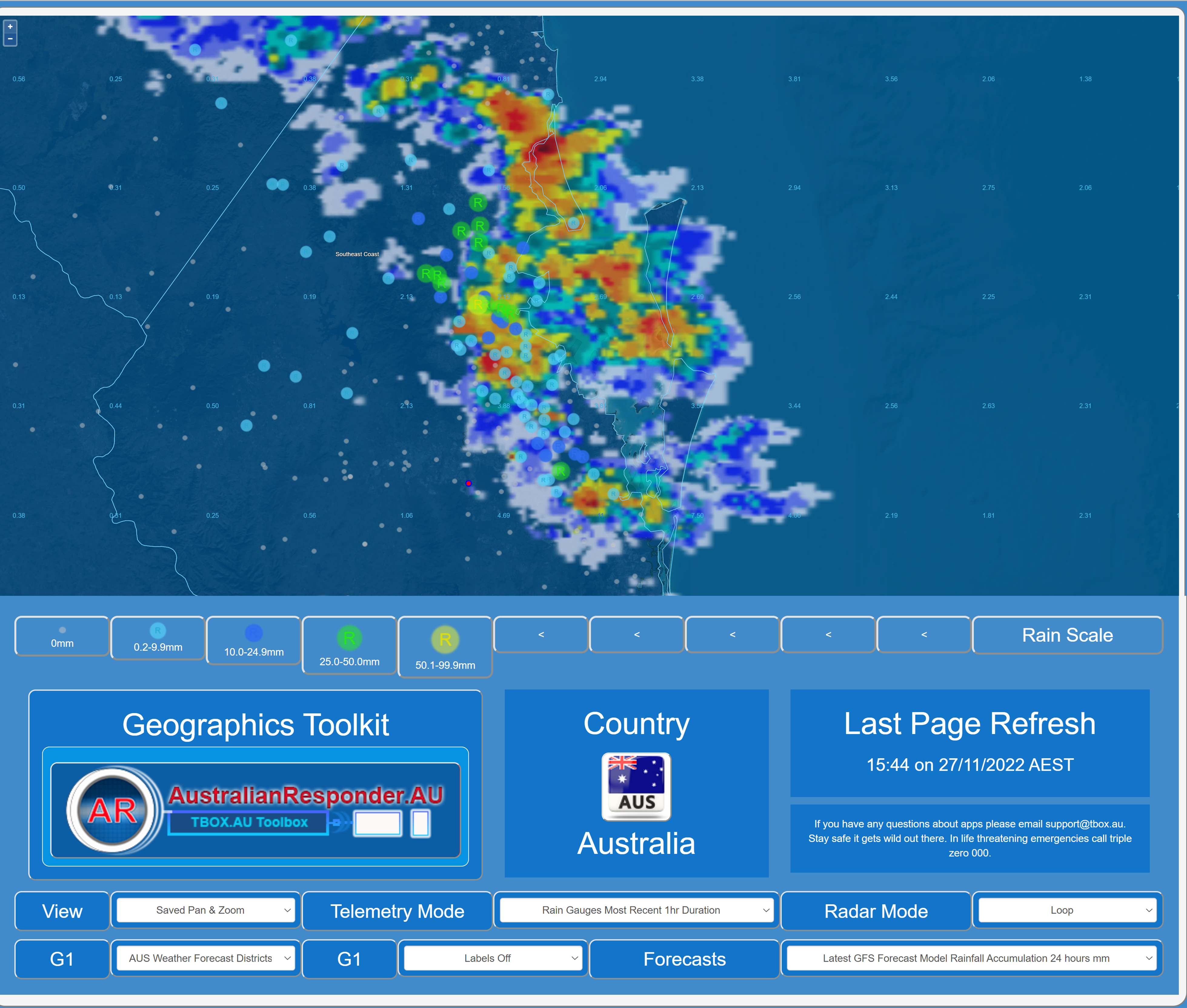
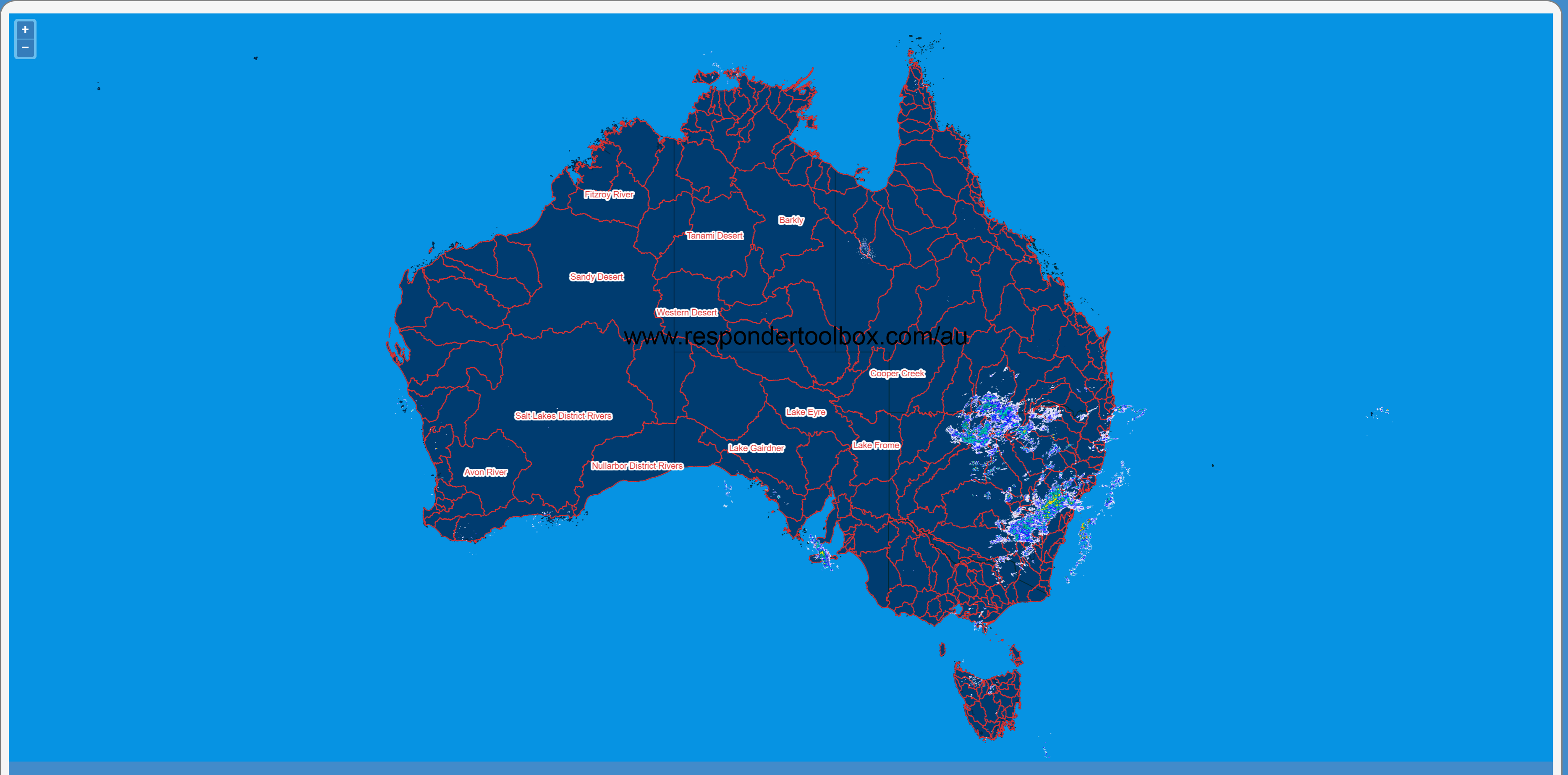
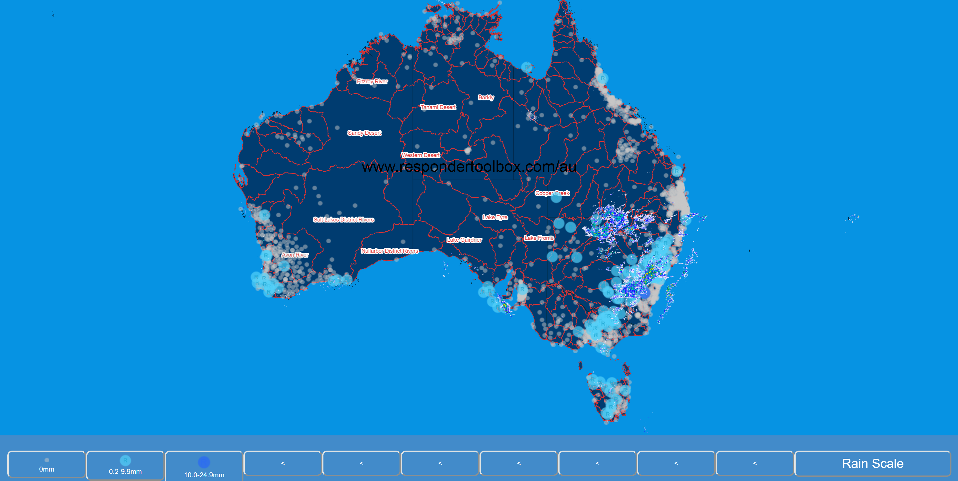
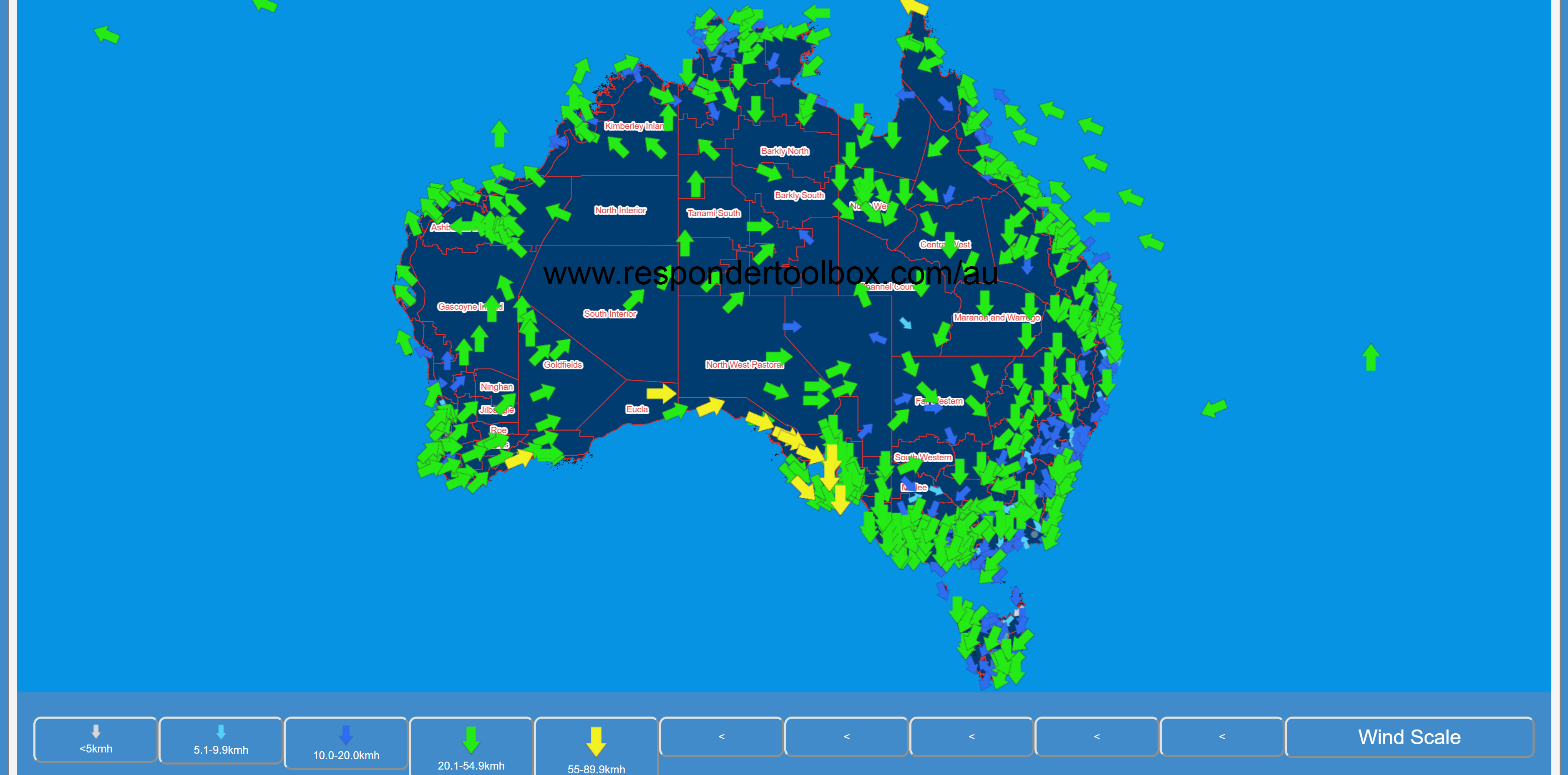
Display and monitor geometries including your locations, local government areas, weather districts, flood watch areas & fire weather districts alongside weather data such as radar loops, rainfall, river, flood telemetry & weather station information. The goal is to add as much geometry & weather data as possible all in one place.
Usability and ergonomics are key principals for DART apps.
The three P’s Power, performance and precision are also at the forefront of DART key development principals.
Customisations and styling keep DART toolbox apps tailored to your requirements.
Industry experience combined with coding skills makes for superior DART apps.